
Soluções em Geodésia
Topografia, cartografia e geodésia com precisão e agilidade para seus projetos e necessidades.
Nossos Serviços
Soluções modernas e precisas em topografia e cartografia.
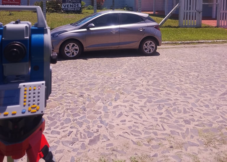
Levantamentos Topográficos
Realizamos levantamentos planimétricos e planialtimétricos precisos.
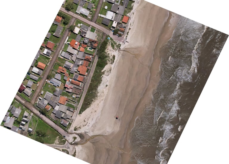
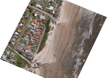
Mapeamento Aéreo
Oferecemos serviços de mapeamento aéreo com tecnologia avançada.
Laudos Técnicos
Elaboração de laudos e perícias para regularização de imóveis.
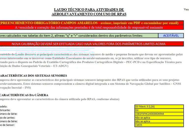
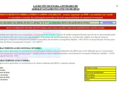
Laudos Ministério da Defesa
Executados o Laudos de conformidade para atividade de aerolevantamento exigido pelo Ministério da Defesa.
→
→
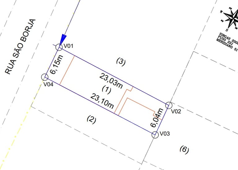
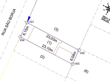
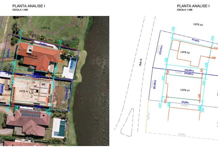
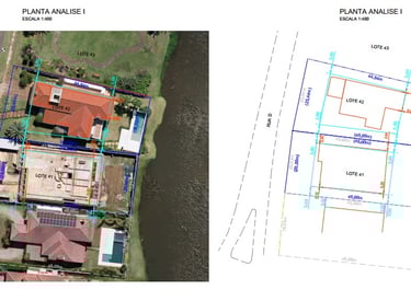
Regularização de Imóveis
Para regularizar seu imóvel urbano ou rural, adquirido via contrato de compra e venda, recibo ou sem registro oficial para compor os processos administrativos e judiciais o levantamento será necessário.
Serviços
Acompanhamento de obras, demarcação de terrenos, Unificação e Desdobro de Lotes, Atualização de matrículas
→
→
→
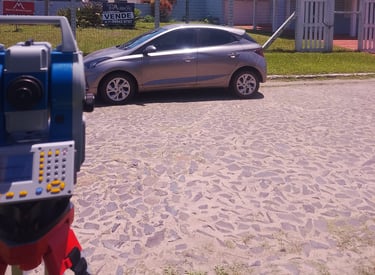
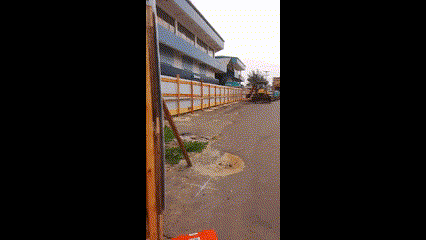
Galeria
Confira nossos serviços em topografia, cartografia e geodésia.


